SOUTH CHARLESTON 1919
|
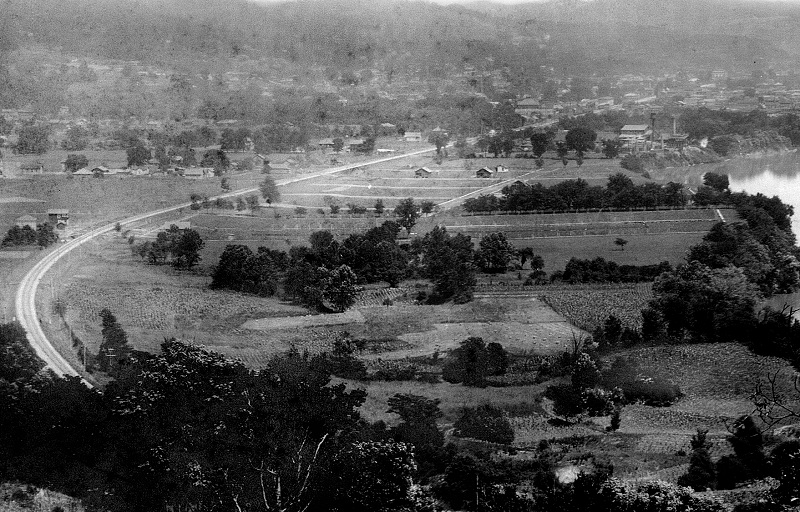
I have chopped-up this great photo into
sections so that people on less than high speed can see parts of it.
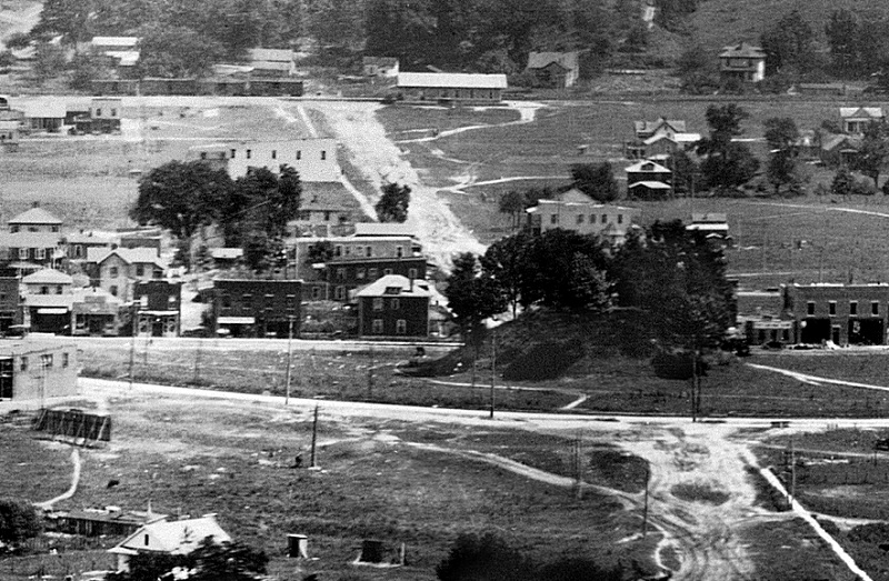
The full photo is at the bottom of this page. The above photo
is of course the Mound area. As you can see, there's not much
on "D" Street yet. Just off to the left is Frankenbergers,
which can be seen in the full photo near the bottom of this page. |
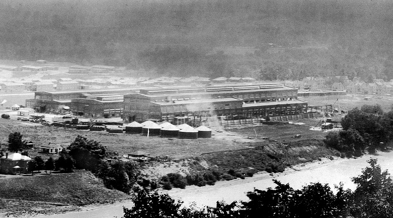
The Naval Ordinance Plant
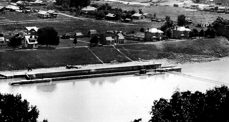
Old Lock 6
The early Carbide Plant area
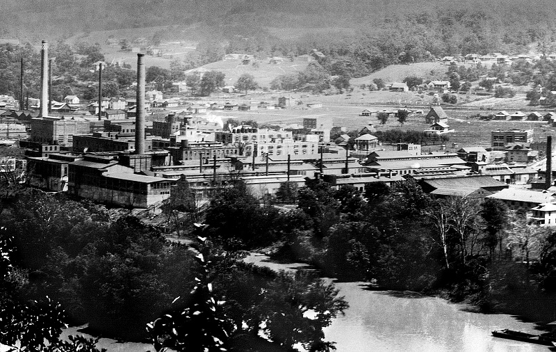
North Charleston across the river from Blaine Island.
|
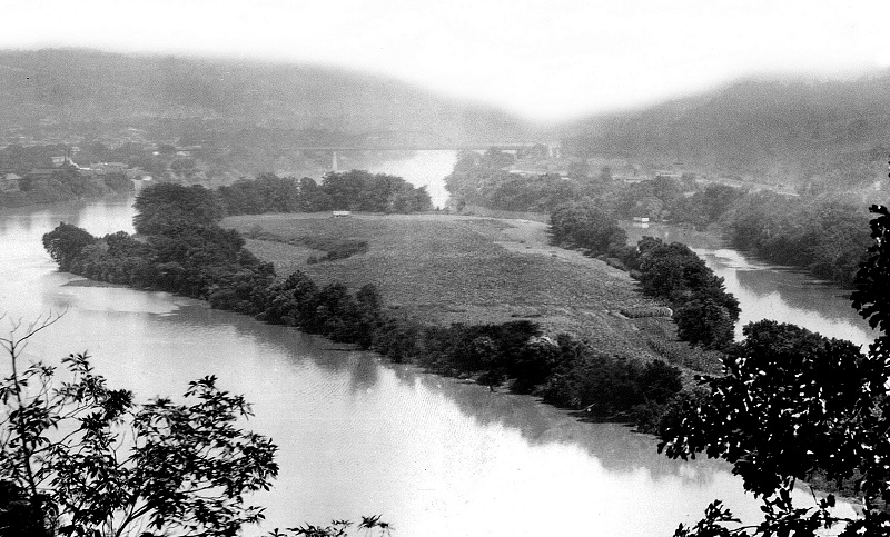
Blaine Island. Look closely and
you can see the C&O bridge in the background which was built in
1907. The Patrick Street Bridge wouldn't be built until 1932.
I have a friend who used to get watermelons from the island,
where it was said that they were the best in the valley due to the
river soil. |
SEE THE FULL PANORAMIC HERE
Warning: The full panoramic is 4 megs. Better have
high speed!
Photo Courtesy Of Watson
Picture Framing
Newspaper Ad from 1916
|
NOTE: As I didn't grow up in
South Charleston, I cant add much more information to this photo.
If you can, please write me and I'll add it to this page. Below
are some |
South Charleston Resident Tom Booher
makes the following comments:
Blaine Island... Once owned by the
1st settler in Kanawha valley, Fleming Cobb. Cobb was known to have
grown watermelons on this island. Cobb must had no vision of the future
of Kanawha valley, he traded this island for (2) flintlock pistols.
He also shot and killed the last (2) known indians in this area. The
late Eugene Cobb (Reberto Cobbs father) told me in 1957 he knew the
man that had these (2) flintlock pistols that Fleming had traded for
the island.
Lock 6 .......I believe this was also the location of a Naval reserve
headquarters in the 1950's. I remember there was a small navy ship
based there. I do remember a few of the old Carbide brass emloyee's
wore their naval officers uniforms on ocassions while at work. |
Back to index